Drone Technology – Enhancing Programmed’s Capability

One of Programmed’s goals is to deliver innovative solutions that provide successful outcomes for our clients. We see this goal operating in conjunction with our value of personal safety and achieving zero harm in our workforce.
Programmed’s Facility Management team started looking for ways to deliver both objectives, providing successful, innovative outcomes while minimizing safety risks. The team has been working with New Zealand-based drone specialists, Drone Deploy, to implement the application of aerial drones and 360o virtual walkthrough technology to our Facility Management services.
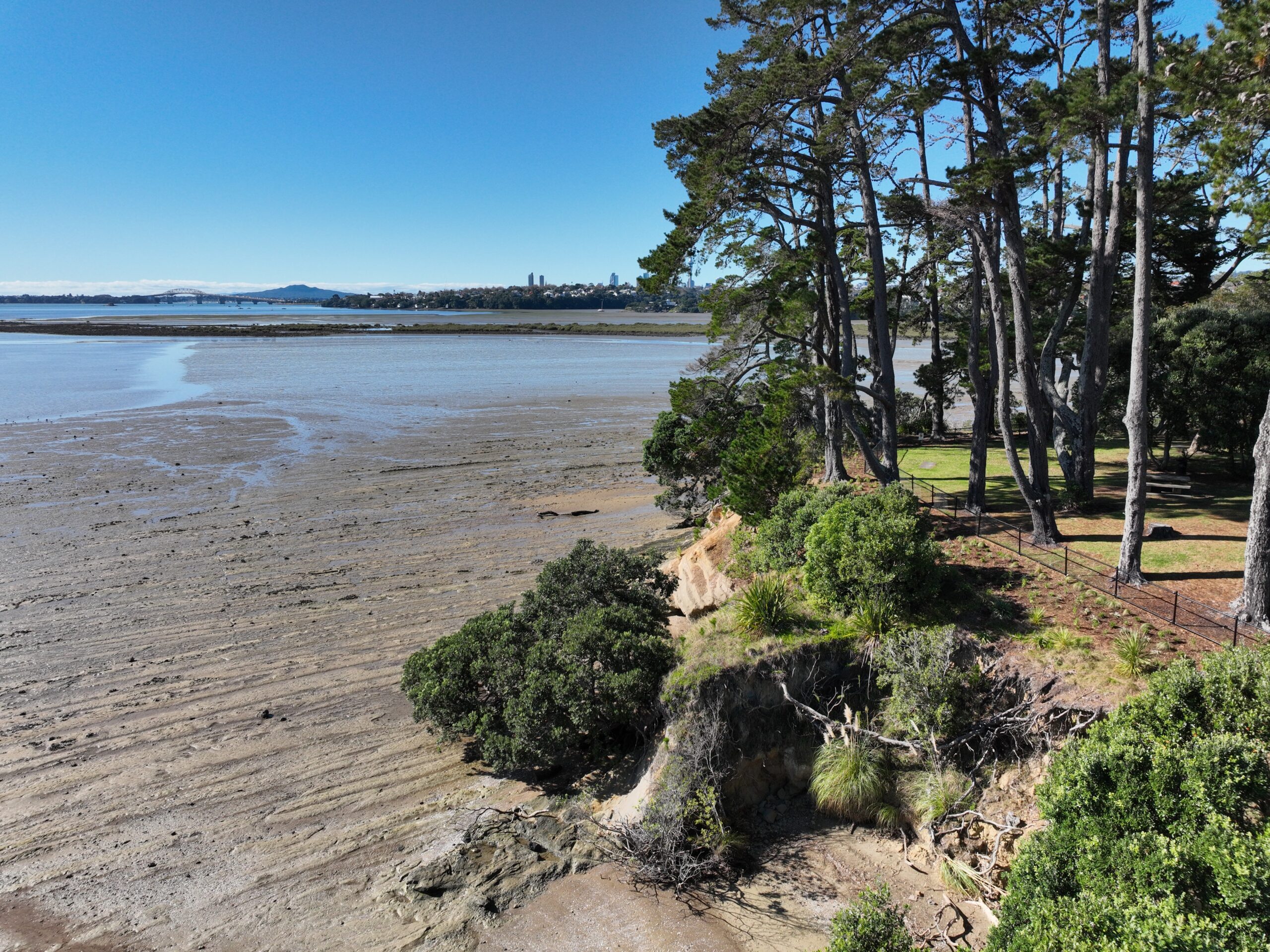
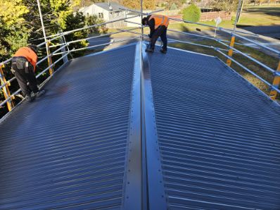
Our work at Programmed involves analysis, asset inspections, surveys, and technical assessments on external and internal details of high-level buildings, towers, and roofs. These assets can often be hard to assess or inspect from the ground or even at level. Our team has found that using a drone mitigates work hazards while ensuring the job gets done with the precision of the drone cameras and supporting AI software.
This modern technology allows Programmed’s staff to remotely interrogate highly detailed, digitised photographs, panoramas, videos, maps of areas, and documented images (interior and exterior) in full 3D, all from the safety of their office desktop. The aerial drone can quickly gather high quality inspections of roofs, building fabric, gutters, areas of inaccessibility, audit and verification, landscape and tree canopy surveys and civil audits. The 360o virtual walkthrough technology is beneficial for asset verification and visualisation for clients and contractors to familiarise themselves with the space for scoping or identifying assets before a site visit. This technology decreases the risk of human error and is a more cost and time-effective option, as staff do not need to be on site as often. Staff not having to be on site as frequently eliminates potential onsite accidents caused by ladders, bad weather, scaffolding, and slippery surfaces.
This results in estimated time savings alone of 30% compared with traditional inspection methods.
Since drone output can be relayed remotely to staff, this provides our customers with access to imagery for ongoing asset management purposes and helps when providing works instructions and liaison, mitigating access issues that may otherwise be challenging due to disability.
This applied use of technology also creates new roles Every year, parts of the national technical field-based workforce are injured, with some unable to return to their original role of full-time field-based work. Their expertise and knowledge remain highly valuable to the industry, and we see this as an opportunity, as the process of data gathering is now more specialised and suited to drone operators and visual capture experts under guidance. The process of data validation is the domain of technical building system experts. As such, efficiencies could be gained by separating the roles. Those now do In-field data capture with specific skills in image capture, and office-based technical experts now do asset verification. We are working with the Ministry for Social Development and Work and Income New Zealand to identify those with workplace injuries and disabilities who can fulfill these office-based roles, thereby providing opportunities that many have not had before.
Using enhanced asset collection tools, drones, and 360o cameras, we gain access to the asset base in a completely different manner; we reduce costs and create adjacent benefits to our clients for their assets. We create safer workplaces, decrease risk, save time and create jobs for those with workplace injuries and disabilities. This service has proven to be beneficial to our clients and the safety of our community.
Benefits for clients include:
> Enhanced inspections of remote and difficult to access sites
> Highly accurate building fabric surveys, particularly vertical surfaces at height
> Better-informed estimate of cost and Capex/Opex planning
> Enhanced safety by reducing the need to access assets at height
Programmed’s Auckland office mapped using this technology
> 393 Ellerslie-Panmure Highway – External annotated model – Click Here